TRIP TO UTAH - APRIL 2004 - PART 4
UTAH to TEXAS
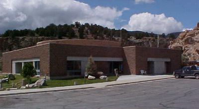
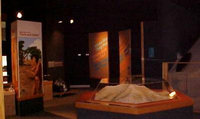
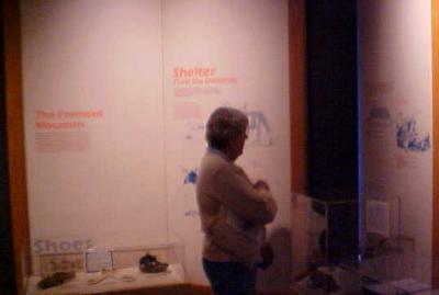
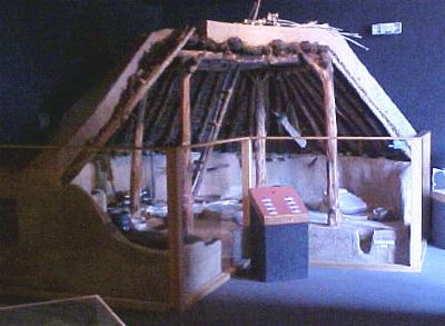
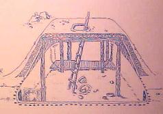
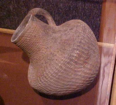
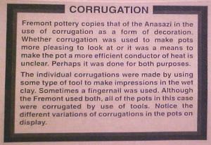
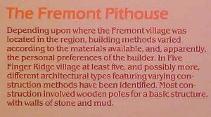
FREMONT INDIAN STATE PARK AND MUSEUM
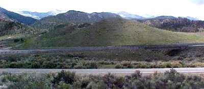
The hill in the center of this picture (just beyond the highway) is what's left of the original mountain on which the Fremont Indian village was located. The rest of the mountain was blasted away during the construction of Interstate 70 (foreground).
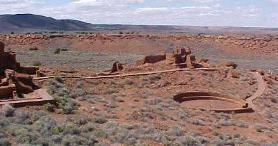
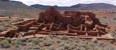
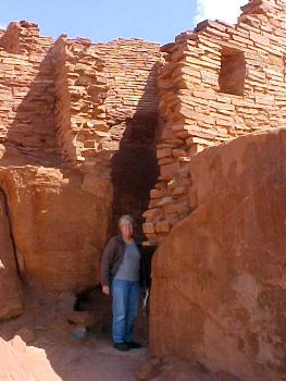
The entire structure was built on a natural outcropping, parts of which are visible on outside walls.
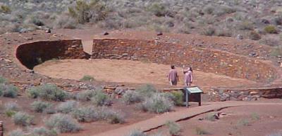
Ballcourt.
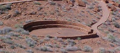
Council Ring.
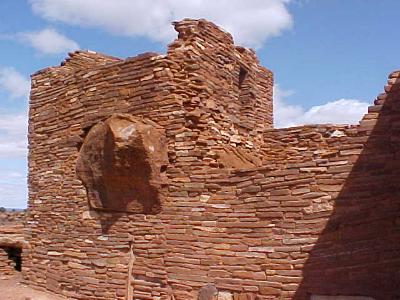
The entrance to an enclosed space within the natural outcropping, a "ready-made" room.
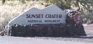
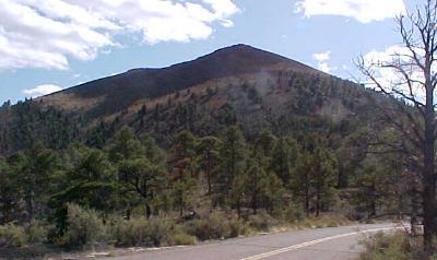
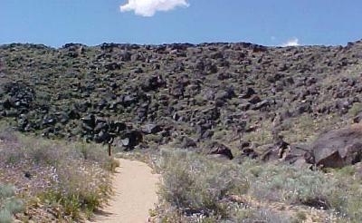
SUNSET CRATER VOLCANO NATIONAL MONUMENT
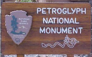
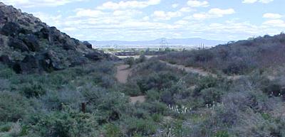
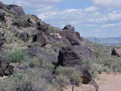
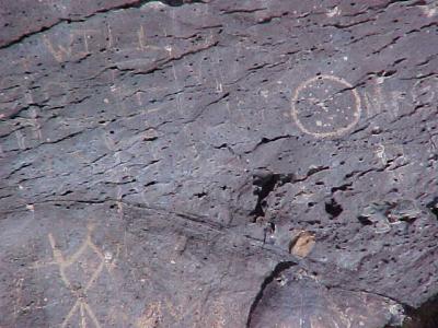
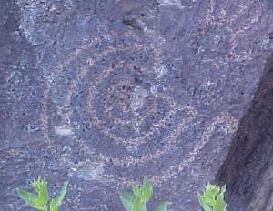
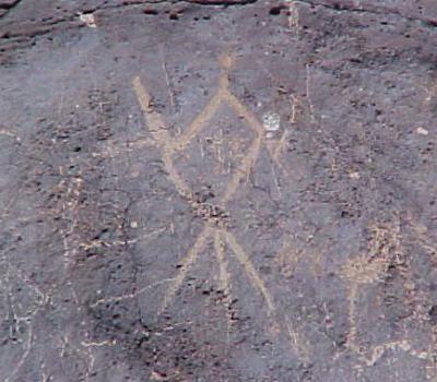
Several petroglyphs have been damaged by vandals.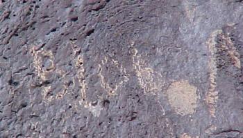
Bullet holes.
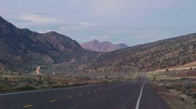
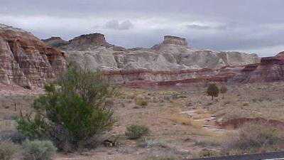
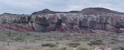
EN ROUTE TOWARD HOME
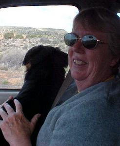
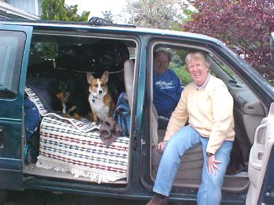
A driver's-eye view of Lucy in the rear-view mirror.
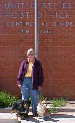
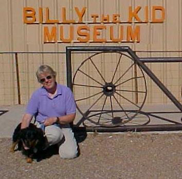
Willie the Kid meets Billy the Kid.
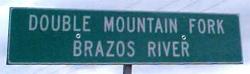
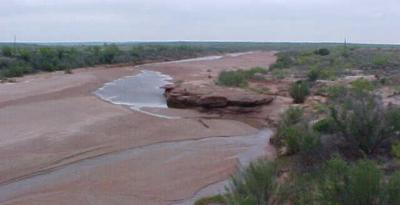
We live about a mile from the Brazos River as it passes through Brazoria. It's a lot wider down where we live!